
Snowfall totals in your area
After most of Michigan saw accumulating snowfall last Friday into Saturday, snow has continued to fall across the state into Tuesday.
From sporadic flurries to more significant accumulations, the weekend winter storms seem to have kicked Michigan’s traditional winter weather into gear for the entire state.
While some parts of Michigan have already experienced several large snowstorms, it’s the first prolonged snowfall of the season for metro Detroit.
In the past 48 hours, places like Petoskey and Indian River have seen at least 10 inches of snow, according to the National Weather Service. In the southern half of lower Michigan, Wayland and Zeeland, near Grand Rapids, have seen at least 6 inches. In mid-Michigan, Haslett and Waverly, near Lansing, have gotten 4.5 inches.
And more snow is on the way. Metro Detroit is expected to received 2-3 inches of snow through 7 a.m. Friday.

Expected snowfall in lower Michigan through 7 a.m. Friday, Jan. 14.
The Kalamazoo area is expected to get 3-4 inches and Grand Rapids 2-3 inches through 7 a.m. Wednesday.
The area near Gaylord could see 3-5 more inches through 7 p.m. Tuesday.
There will also be some additional accumulation in the Upper Peninsula, with the Munising area expected to get the most at 3-5 inches. Grand Marais is expected to get 2-4 inches.
Here’s how much snow has fallen in across Michigan in the last 48 hours, according to National Weather Service data.
Michigan snowfall totals from winter storms
Allouez Township: 6 inches
National Mine: 4.3 inches
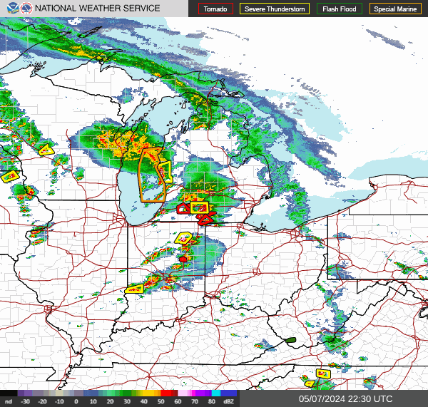
Michigan weather radar
(Hit refresh on your browser for the latest radar loop.)
This article originally appeared on Detroit Free Press: Winter storms bring more snow to Michigan: State snowfall totals

Leave a Reply